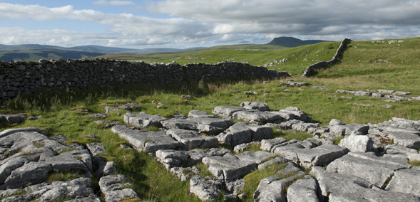


The Ribble Way is a 70 mile (117km) footpath following the river and its valley from the sea to its source. The footpath spans the counties of Lancashire and North Yorkshire and is divided into seven sections each approximately ten miles long.
The Ribble Way starts at Longton on the salt marshes of the estuary and passes through this flat estuarine environment to the west of Preston and onto the lush fertile plains between Preston and Clitheroe. The route then traverses the higher ground towards the county border and continues to its source in North Yorkshire. The final section from Settle heads up Ribblesdale, passing close to the stunning hill of Pen-y-ghent and then Ribblehead viaduct, before a final climb up to the finishing point at Gavel Gap.
The Ribble Valley has a fascinating history with evidence of Roman roads, ancient abbeys, 14th century halls and numerous landmarks from the industrial revolution, many of which have been incorporated into the route. The route is fully waymarked with the Ribble way logo making it easy to follow.
You can find more information about the Ribble Way see the section on the Long Distance Walkers Association website.


