

A number of the Local Plan's policies refer to specific designations or land allocations. They include:
- Allocated development sites for housing, employment & sport
- Housing development boundaries
- Important open space
- High street frontages
- Protected railway routes
- Conservation areas
- Ecological networks
- Open upland
- Mineral & railhead safeguarding areas
Each of these designations relates to a policy in the adopted Local Plan publication text. The relevant policy reference appears alongside each layer in the maps below.
The maps are in PDF format. You will need to expand the 'Local Plan policies' or 'Mapping' folders by clicking on the ‘+’ icon in order to view the full list of layers for each map. It is possible to turn different mapping layers on or off, or by clicking on the 'eye' symbol in the menu on the left hand side of each map. You can identify the different layers either by turning them on or off, or by using the maps key.
YDNP Local Plan adopted maps key (pdf document)
NOTE: If you experience problems viewing maps/designation layers through your web browser, please download the map as a PDF and view outside of the browser.
Large area overview maps
There are 49 large area overview maps that cover the whole of the National Park in areas. These are most suitable for viewing the full extent of the larger wildlife, open upland, railway corridor and Barns and Walls Conservation Area designations.
Each of the large area overview maps covers an area of around 60 square kilometres at a scale of 1:25,000. You can locate the appropriate map using the guide below which indicates which map number to choose.
Overview maps guide (pdf document)
01020304050607080910111213141516171819202122232425262728293031323334353637383940414243444546474849Small area inset maps
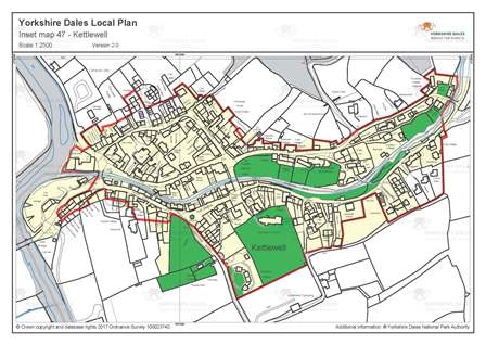
There are 95 small area inset maps that cover individual settlements and are most suitable for viewing more detailed designations such as housing development boundaries and high street areas. The maps are ordered alphabetically by settlement name.
A B C D E F G H I J K L M N O P Q R S T U V W X Y Z

